Long White Gypsy uses affiliate links and is a member of the Amazon Services LLC Associates Program. If you make a purchase using one of these links, I may receive a small commission at no extra cost to you. See my Privacy Policy for more information.
The Matapouri Bush Track has been closed since the 2020/21 season due to a private landowner revoking access to a section of the track. There is a road walking re-route of the trail in place. Check the Te Araroa Alerts & Trail Status for more information.
We were hoping for an easy day, but still woke up early enough to leave camp before 8AM. I decided not to shower, but even without a tent to take down it still seemed to take forever for me to get ready.
I did, however, manage to squeeze in breakfast and a cup of tea. Priorities.
We’d been told the walking would be relatively easy going through to Ngunguru (our destination for the day), so we set off along the longest footbridge in the Southern Hemisphere with renewed vigour after our rest day.
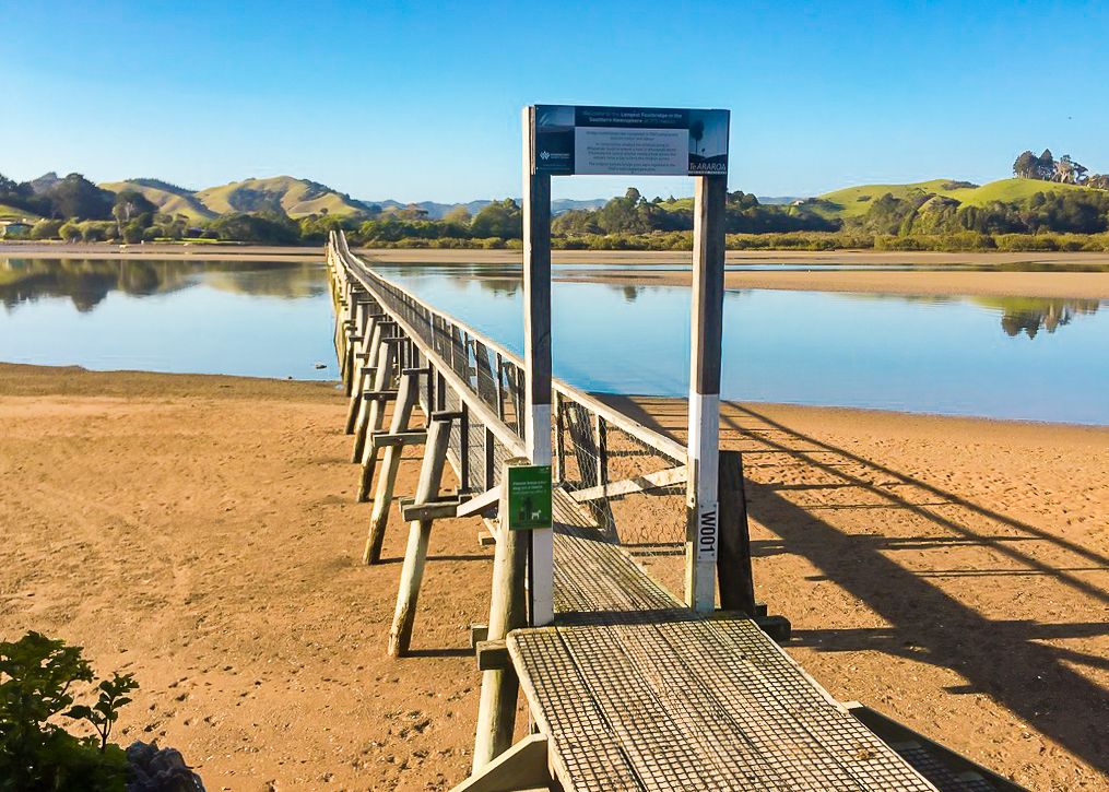 The longest footbridge in the Southern Hemisphere, and part of the Te Araroa trail!
Apparently this bridge was built to assist school children from Whananaki South to get to school in Whananaki North, otherwise they had previously had to get a boat across the estuary!
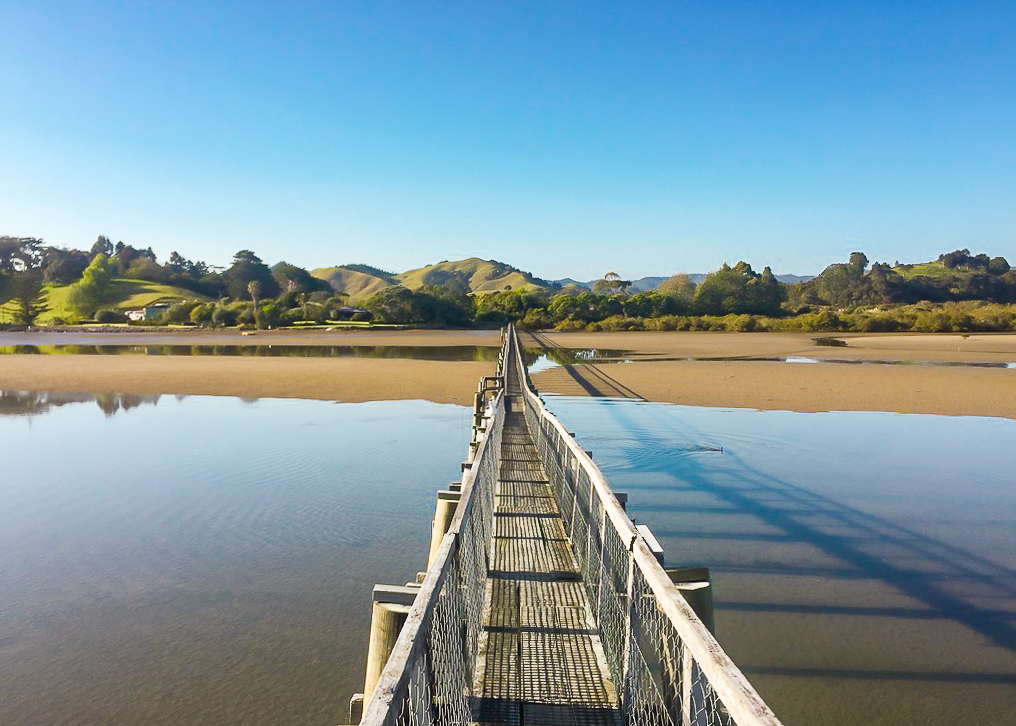 Approaching the half way point on the Whananaki Footbridge, one of the highlights of the Northland section of Te Araroa.
On the other side of the bridge we walked along the estuary bank to the start of the Whananaki Coastal Walkway.
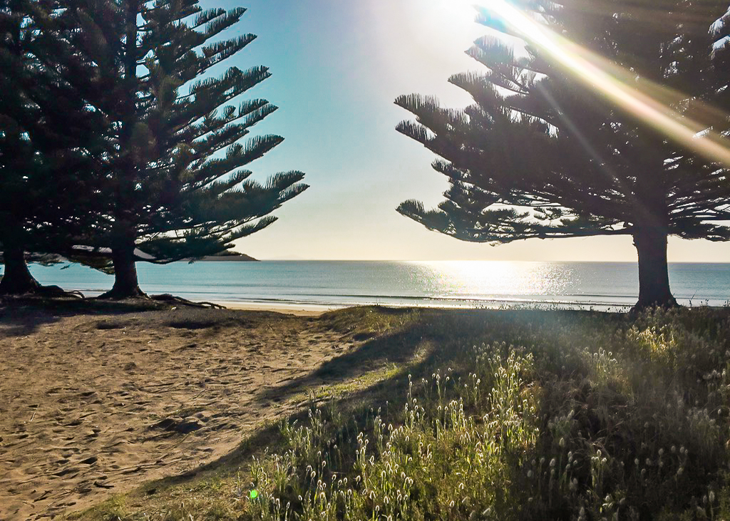 Our first view of the serene Sandy Bay as we enter the Whananaki Coastal Walkway.
It was relatively flat for a while but then it started to climb gently. I was starting to get used to the idea of doing hill climbs every day, but this particular morning my calves were burning.
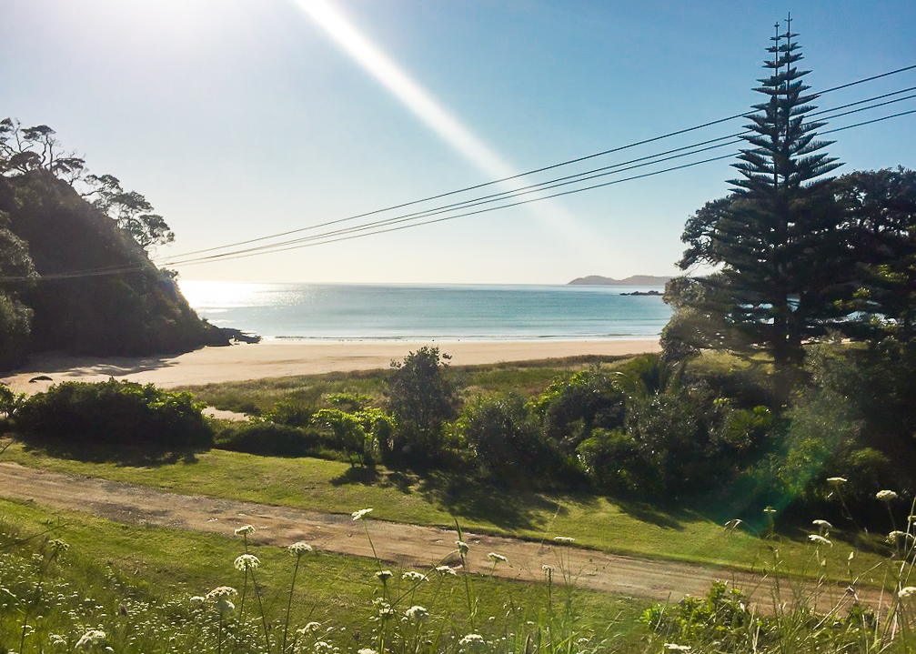 Another early morning view out to the tip of Whale Bay in the far distance.
I hadn’t stretched at all since finishing the Onekainga Track two days previously. And a day of resting up yesterday had meant that all my muscles had shrunk back and now needed to be limbered up again.
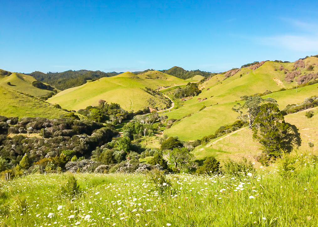 The stunning rolling countryside of the Whananaki coastline.
It was hard going for a little while, but the views along the coastline were really pretty. We meandered in and out of farmland and over stiles, even at one point walking straight past some grazing cows. They were just a few feet from my face!
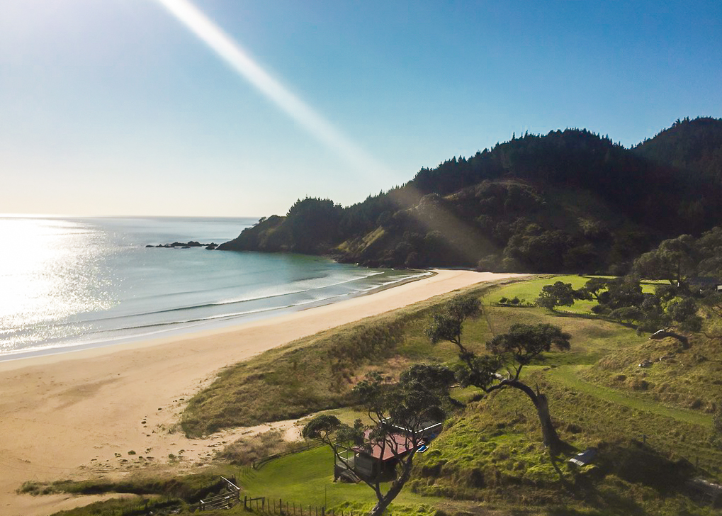 Looking out along Grahams Bay from the coastal footpath. The promontory is where the Captain Bougainville monument is located.
This section of the trail passes a junction to the Capitaine Bougaineville monument, which marks Northland’s worst maritime disaster. On 3 September 1975 an engine room fire coupled with extreme bad weather caused the vessel to sink. Many of the 39 crew and 8 passengers were able to disembark the vessel, but 16 people lost their lives.
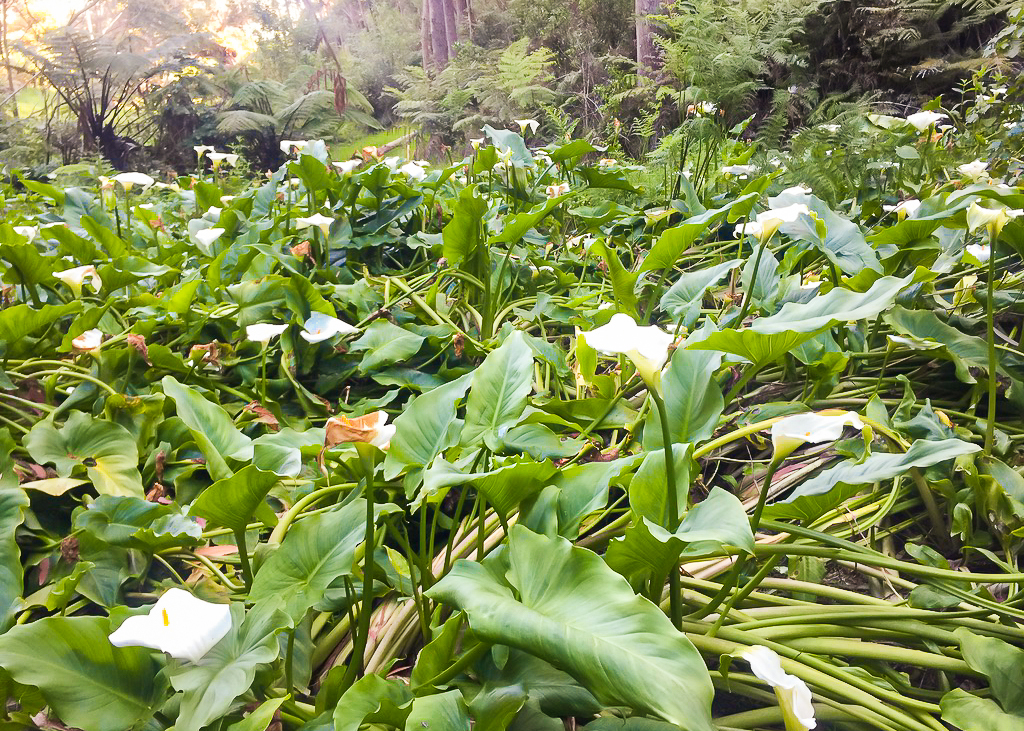 Arum Lilies grow in a depression on the Whananaki Coastal Walkway.
Eventually we came out into Sandy Bay, which was a really beautiful spot. Julia suggested we stop for a little while to take a break, and I didn’t argue.
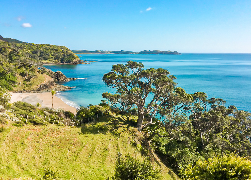 Looking back towards the Whananaki Peninsula from the Whananaki Coastal Footpath.
We took up a seat on a grassy bank under a tree and grabbed a quick snack and a drink as we watched a lone surfer out in the bay try his luck.
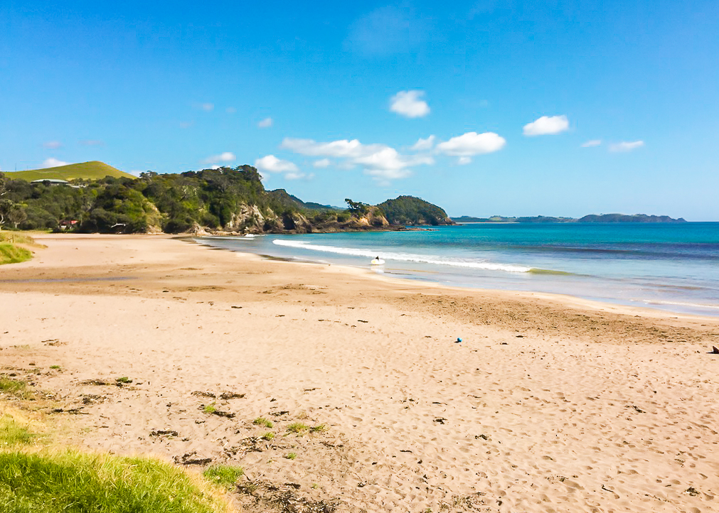 A lone surfer enters the waves at the southern end of Sandy Bay.
After that, we pushed on to Matapouri. This involved a short road walk and then a short bush walk down into the town. The road walk was a little hairy, it being a narrow road with lots of bends and enough traffic for us to be on guard all the time.
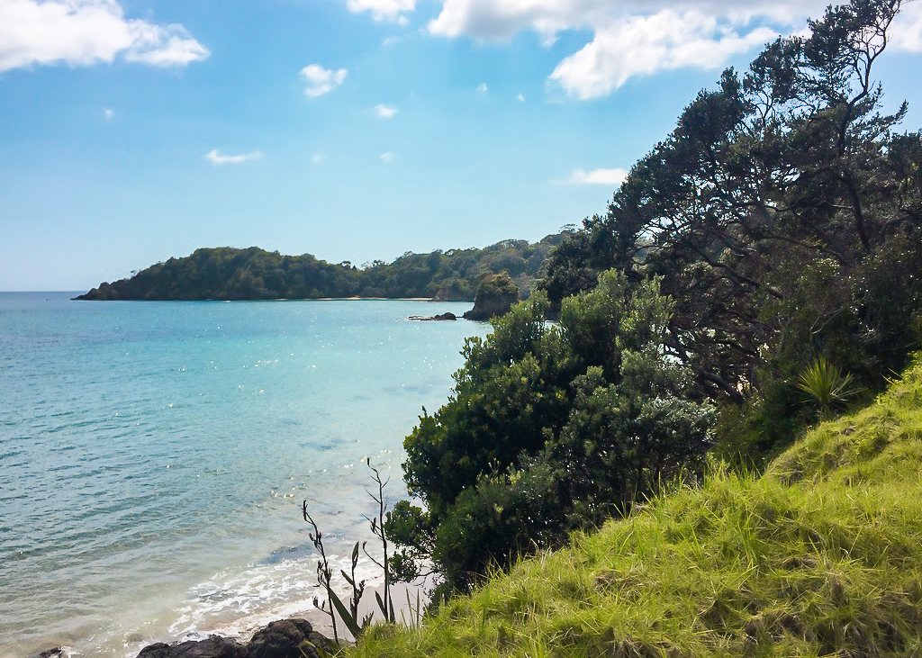 A sneaky picture from the Twin Coast Discovery roadwalk.
This road did, however, take us straight past Woolley’s Bay, which featured a fantastic and very clean flushing toilet in the free camping area!
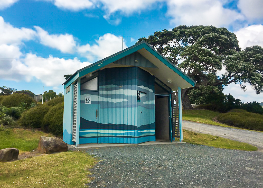 The best toilet we’d come across during a day section of the TA so far at Woolley’s Bay.
This section involves a small bush section on the Headland Track which is a brief respite from the busy road.
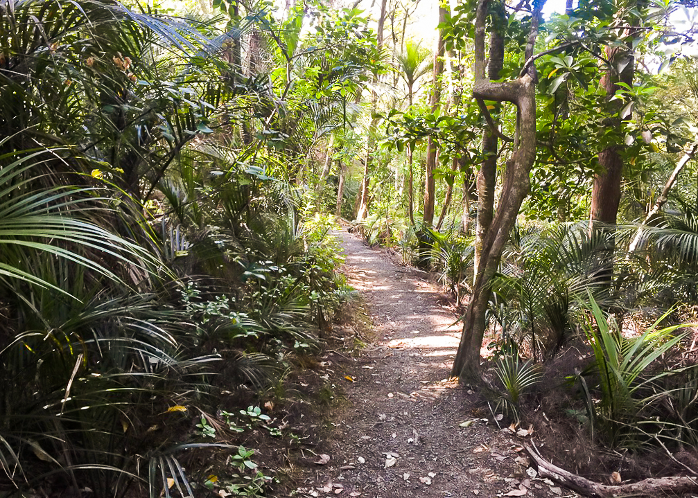 A break from the sunshine, and the road. Hiking a short distance on the Headland Track, Matapouri.
We walked around the back of Matapouri Park, a relatively high end residential gated community, and I marvelled at the houses, all of which seemed to be architecturally designed and obviously high price point.
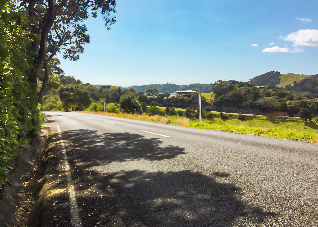 Approaching Matapouri on another short road walking section, trying to keep out of the blistering heat.
When we reached the town we wandered through the streets in blazing hot sunshine before starting up Clements Road, a gravel road which leads to the Matapouri Bush Track.
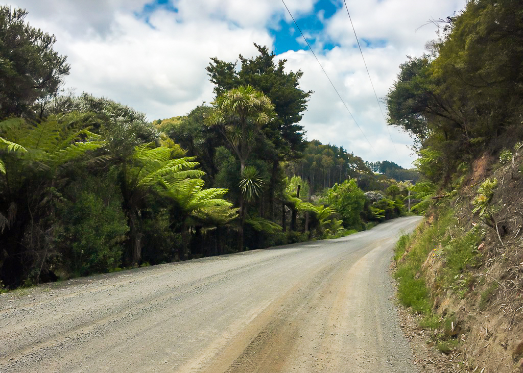 A short roadwalk down an unsealed Clements Road to the start of the Matapouri Bush Track.
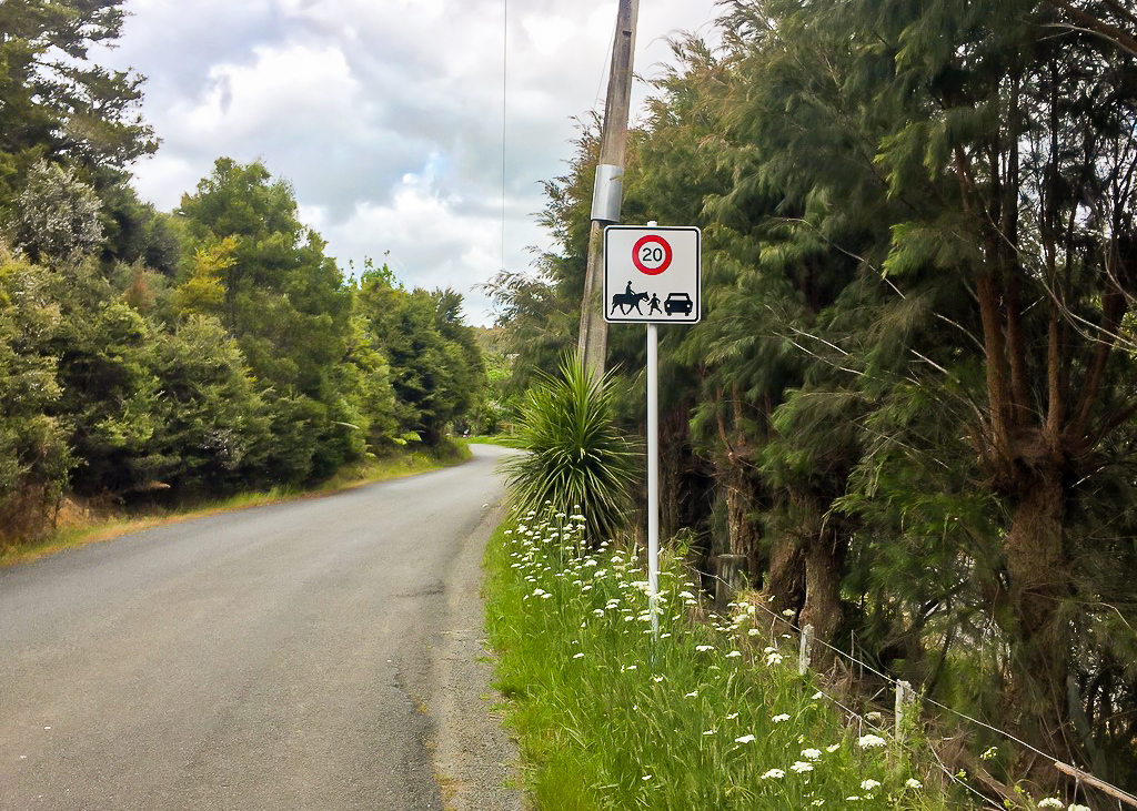 I hadn’t seen a sign like this before in New Zealand – Clements Road Matapouri.
We wanted to find somewhere close by to have a proper lunch break. Unfortunately there was nowhere really to sit down at the start of the track, so we hiked up it a little way before eventually settling for sitting on the track in a small bushy section.
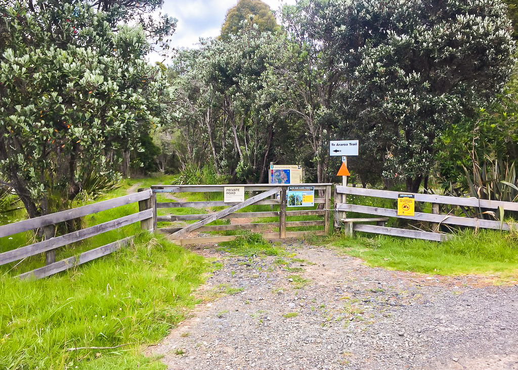 Nowhere really conducive to taking a break, we decided to push on a little further.
It wasn’t a brilliant place to stop, but we made do. I’d decanted my rice crackers into a smaller bag to get rid of excess packaging, but they’d broken already into tiny pieces, making them a nightmare to eat.
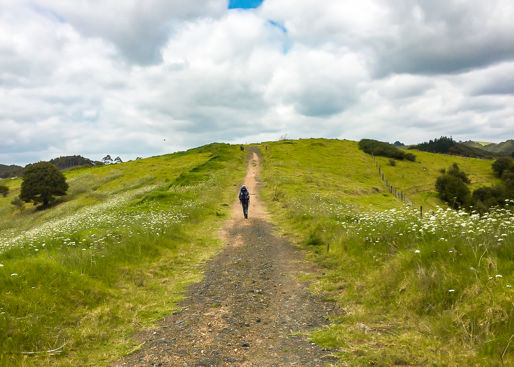 A short 4 wheel drive track marks the start of the Matapouri Bush Track, an unexpectedly scenic little section.
We pushed on up the track, which was steep in a couple of sections, but at least it was more downhill than up. I noticed that I was really struggling with the hills again today. Perhaps it was because of our zero day yesterday. Julia steamed ahead whilst I staggered behind, petrified I’d slip and fall down a steep slope or trip on a tree root.
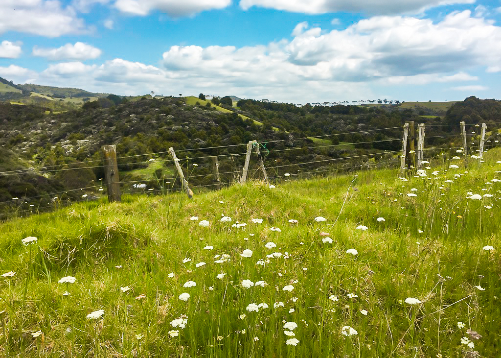 The thing about Te Araroa … sometimes you are hit with a surprisingly beautiful view in the most unexpected section.
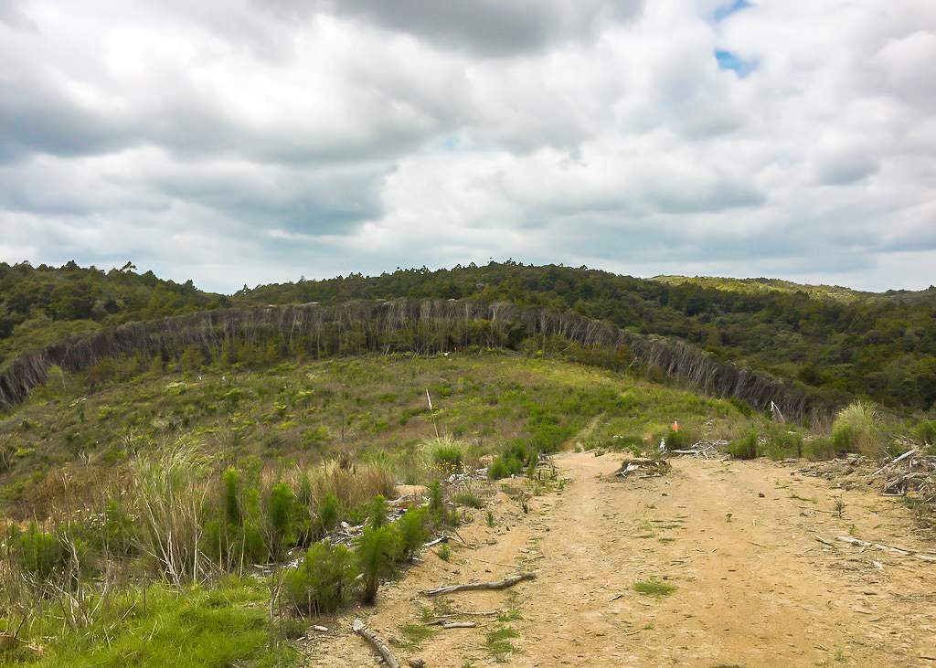 Taken aback by the perfect curvature and exposure of these trees as we enter the bush section of the Matapouri Bush Track.
It was a relatively uneventful walk on this track, but just after we reached the top of the track we came to a small kauri grove, in which stood a very large kauri tree called Tane Moana.
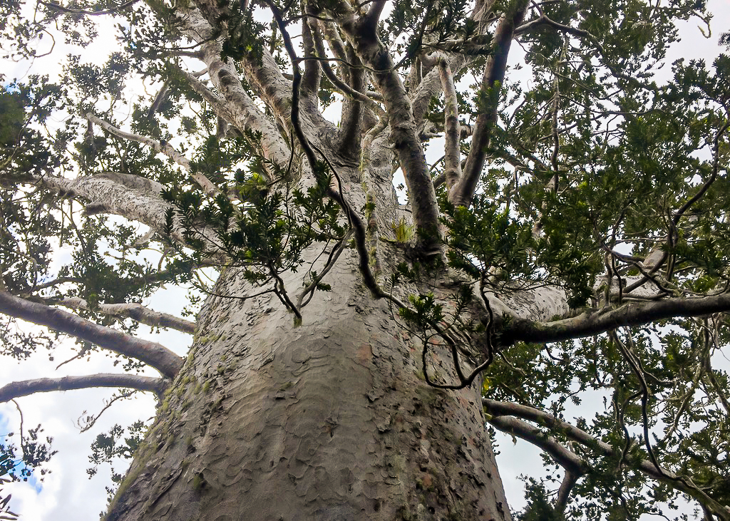 Tane Moana – the King of the Sea, probably the largest living coastal kauri tree in New Zealand, with a circumference of 11m (age unknown).
A strange kind of silence befell us as we gazed up at its gigantic limbs towering above. It was a beauty to behold and be in the presence of. It’s such a shame that so many of these wonderful trees were felled by early European settlers and kauri gum miners so that we are only left with a handful now.
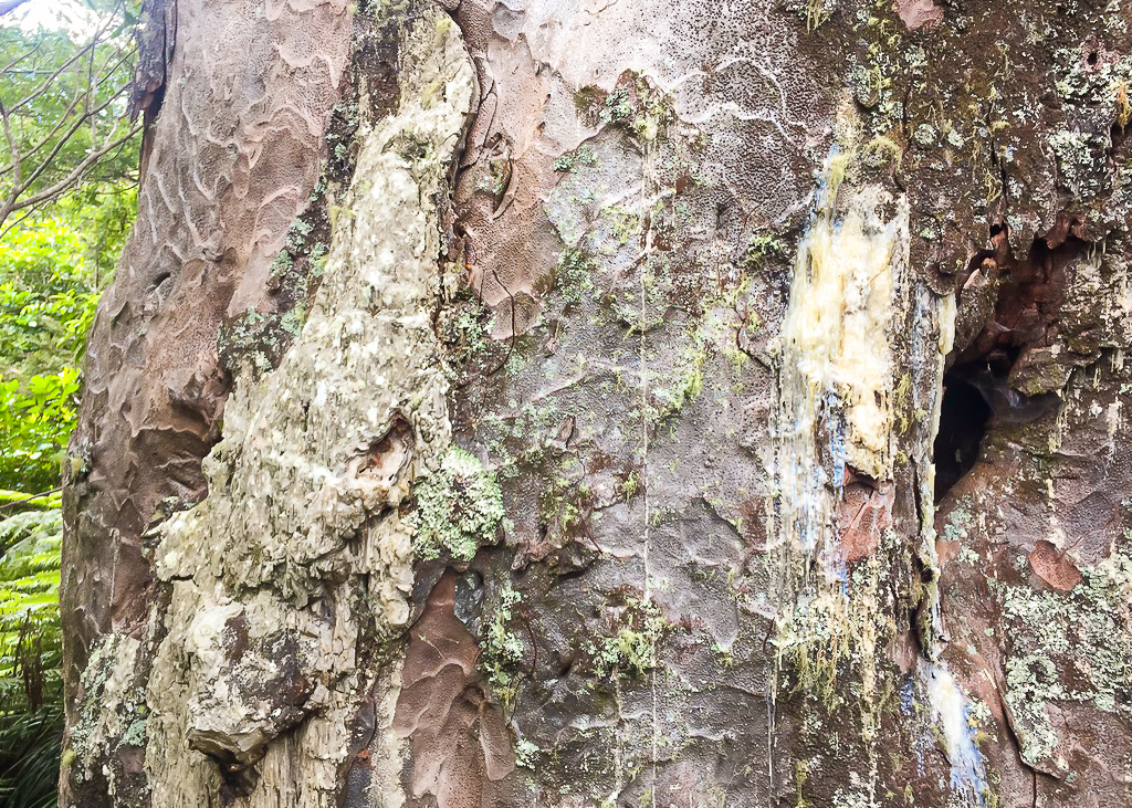 Kauri Gum pours out of the weathered bark of Tane Moana, left untouched by kauri loggers due to a number of defects in its trunk.
Eventually we came out into a paddock and had to crawl under what looked like an electric fence. We didn’t know if it was on or not, but better to be safe than sorry. We slung our packs and trekking poles under first and then commando-crawled under. We must have looked a right picture!
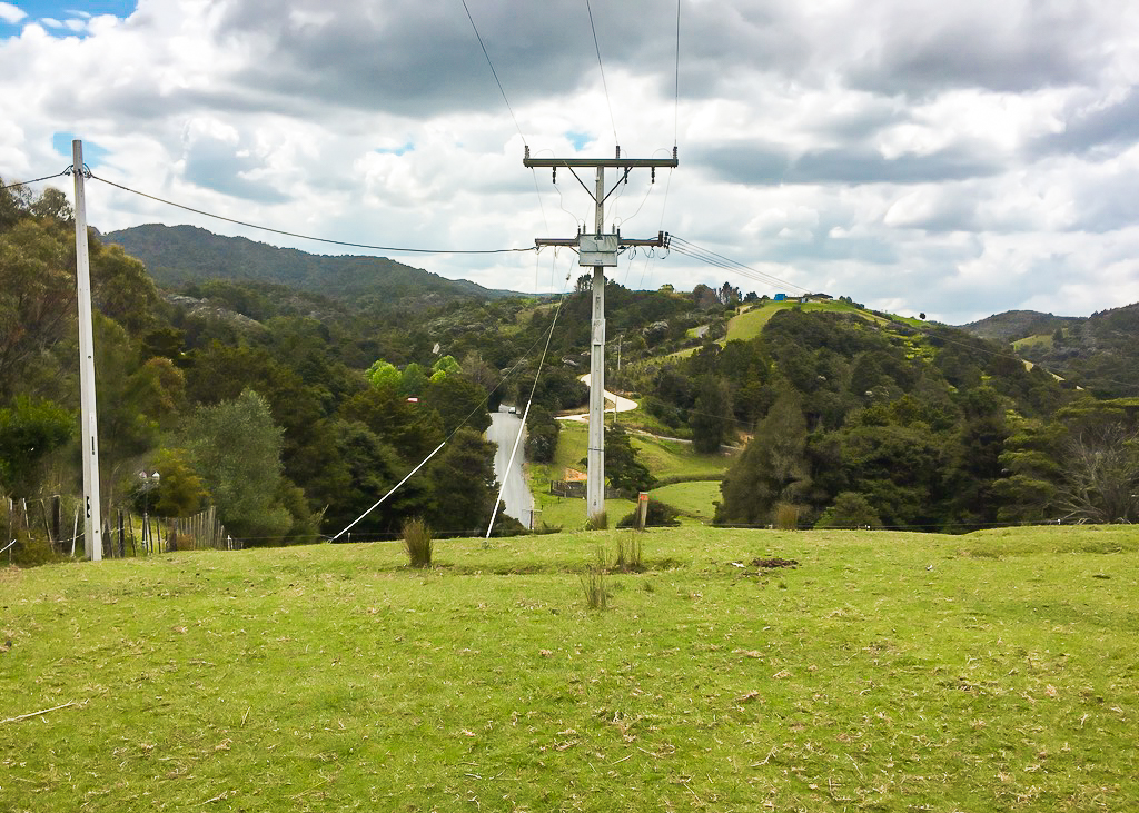 You can just about make out the electric fence we limboed under, over the crest of this hill in the distant foreground.
Off to one side, I noticed a lamppost which looked like something straight out of The Lion, The Witch and the Wardrobe.
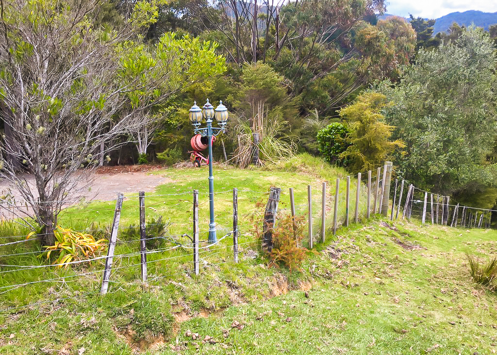 “Mr Tumnus?”
That brought us out on the road walk section to Ngunguru. It was about 3-4km into the town centre itself, but it felt much longer. The sun was really beating down now and as always my feet and legs had started to ache. I thought I was even getting a bit sunburnt.
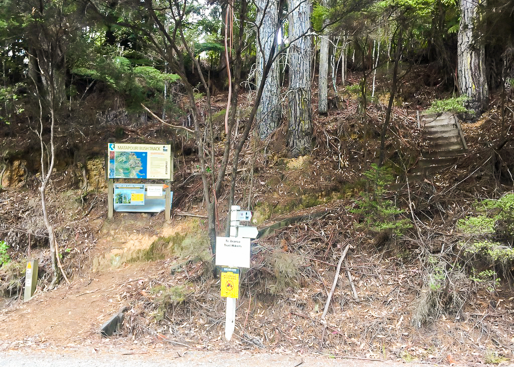 Emerging from the Matapouri Bush Track onto Waikoi Road, for the final road walk into Ngunguru.
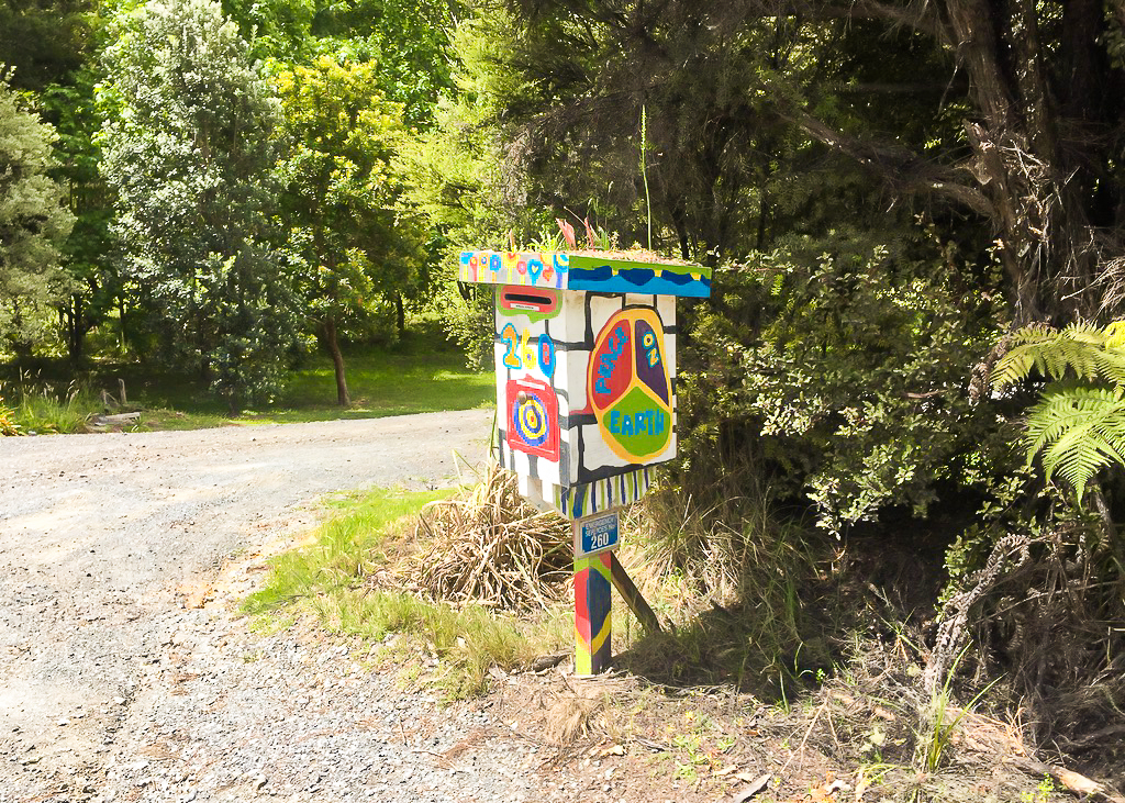 All that roadwalking does at least mean you get to see some pretty cool letterboxes.
When we reached the town centre we waited for traffic to pass before crossing the one lane bridge. It was a very busy day, with plenty of local tourist traffic and (I assumed) Aucklanders escaping the city for the weekend.
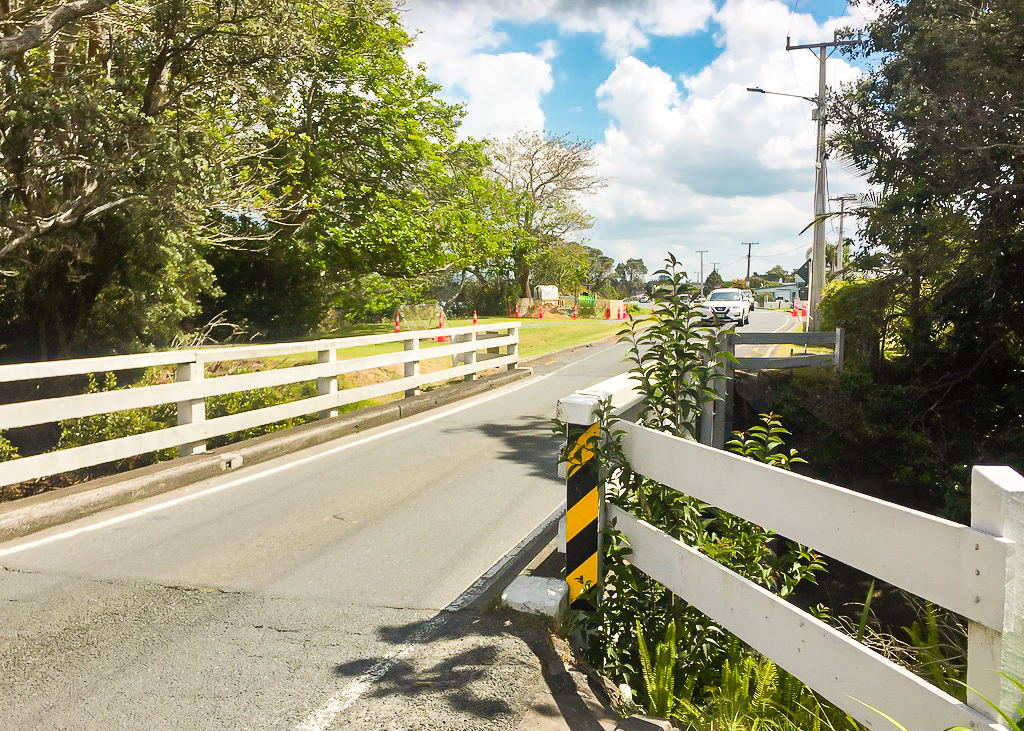 Traffic was so busy, it took an age to cross this one lane bridge.
This brought us straight to the doorstep of the Ngunguru Food Mart. We’d been expecting a Four Square, so I was a little apprehensive I wouldn’t have a great selection of gluten free supplies. I needed to stock up on lunch supplies for the next section. Julia went in first whilst I sat outside and looked after our packs. She was a little while but when she came out she had a fresh head of broccoli and a red capsicum!
It’s always nice to eat fresh food when you know you don’t have to carry it the next day.
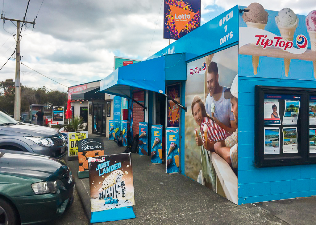 The small selection of shops and takeaway stores at Ngunguru, popular with tourists and locals during the summer season.
I went in to grab what I could for supplies. I only needed lunches, so I tried to stay focussed and not buy anything extra that I’d then have to carry. It’s very easy to get carried away, when you spend a lot of time on a restricted diet.
I saw a chocolate protein drink in the chiller cabinet and thought it might help my muscles recover. I also picked up a small block of cheese and some cream crackers. Even though they weren’t gluten free, by this time I was really starting to get sick of eating rice crackers every day.
When we were finished, we walked the extra kilometre or so down the road to the boat ramp where we were due to be collected by James, the owner of the Nīkau Bay campsite where we’d be staying tonight. His place was on the other side of the Ngunguru estuary, crossable only by boat (unless you want to attempt the lengthy off-trail road walk around).
Along the path on the way to the estuary, there were a collection of small paintings on the ground, all of which seemed to have an ant theme. Taking the time to look at them along the way made the time pass quickly.
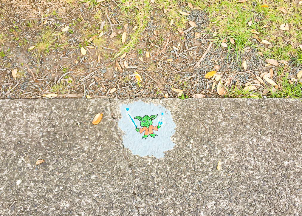 One way to brighten up an urban section of hiking.
We also passed something that brought up a lot of memories… a millennium time capsule! It had been buried on the seafront next to the public toilets (a strange place, I thought) and contained reminders of the Ngunguru township from the year 2000.
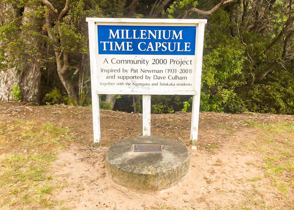 A blast from the past. This time capsule was buried in Ngunguru in 2000.
The sign next to it said it will be opened in 2100. It reminded me that as a child I’d also put a time capsule together with my sister and cousins. For the life of me though, I can’t remember where it ended up.
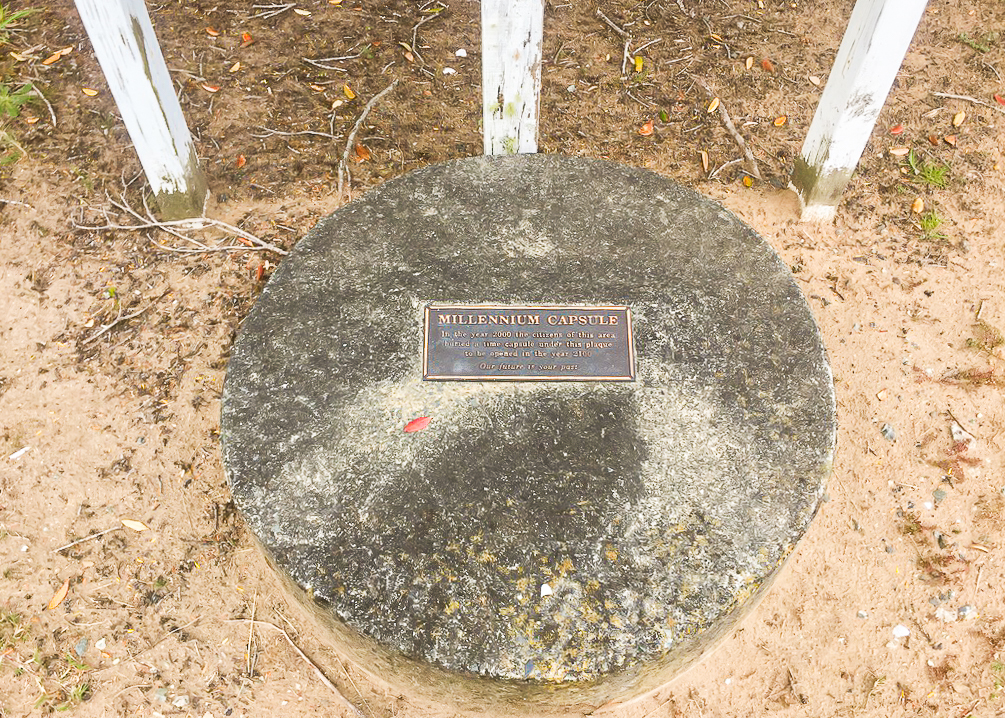 “In the year 2000 the children of this area buried a time capsule under this plaque, to be opened in the year 2100. Our future is your past.”
When we arrived at the estuary crossing, Troy and Jordyn were already there. They were also accompanied by an older British guy named Paul from Liverpool. They said they’d been waiting about an hour so they had assumed there were more hikers coming.
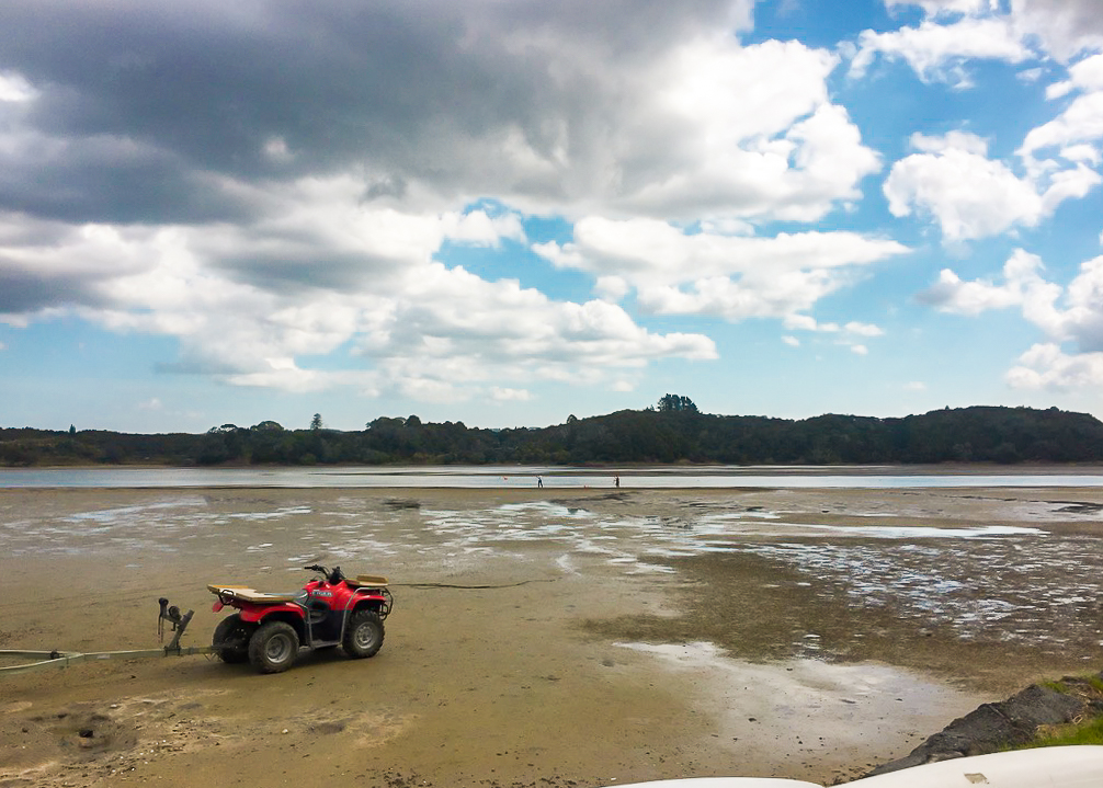 Waiting for James on the Ngunguru side of the Ngunguru Estuary Crossing whilst a couple of drunk fisherman try their luck on the shoreline.
James’ boat could only hold three at a time, so we let them go off first. When they left, Julia and I started walking along the sand to the water’s edge. After dropping the others off, James turned around and came back to get us. He pulled up in his boat and we boarded. Julia seemed to be a little bit nervous, but the trip to the other side took less than two minutes.
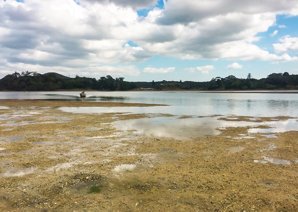 James makes his way back from his first drop off to collect us.
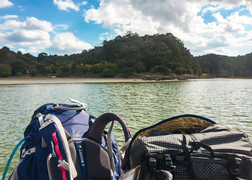 Aboard James’ boat on our way to Nikau Bay Campsite in the far distance.
Once there, we walked up the sand to a grassy patch on the water’s edge where we could pitch our tents. I was overcome by how much of a beautiful spot it was. Our accommodation so far had been a bit hit and miss. But this was a beautifully large property, certainly one of the most scenic we’d had so far (with the exception of Ninety Mile Beach) and felt like a real hiker haven.
James gave us the full tour. It’s obvious that over the years he’s put a lot of work and effort into making this place everything hikers need. There are two huge outdoor showers with big rainfall rosettes, each complete with it’s own tree. Next door is a large communal kitchen and entertaining area, all really nicely done with rustic fixtures and fittings.
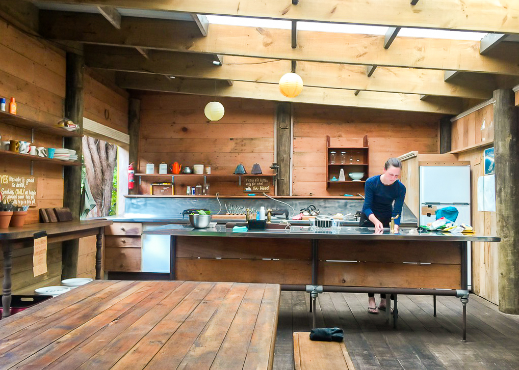 James’ vision and hard work is most evident in the kitchen/dining area at Nikau Bay campsite, complete with recycling facilities!
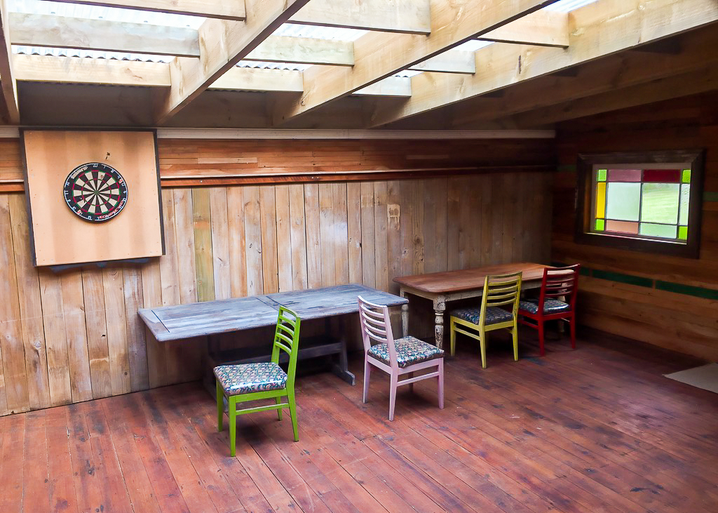 The common room at Nikau Bay campsite.
In the middle of the room there was a big map of the two upcoming river crossings at Horahora and Taiharuru, which James later went through in detail with us to ensure we were leaving at the right times.
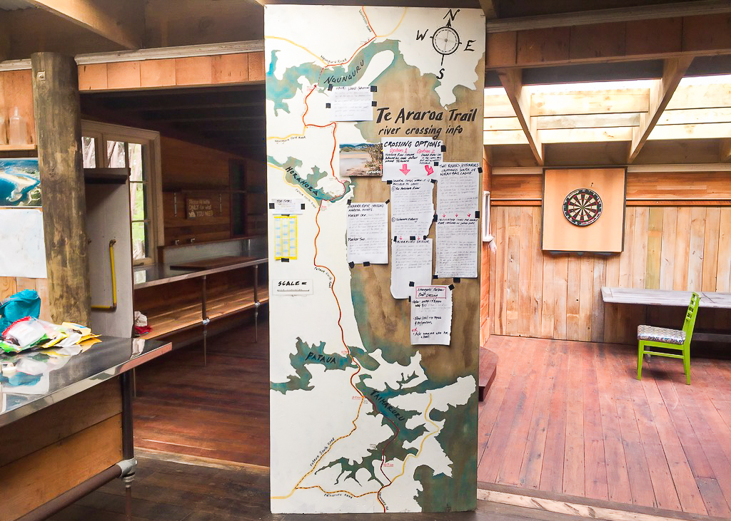 James has put in a lot of effort to help hikers with the logistics of the two upcoming estuary crossings.
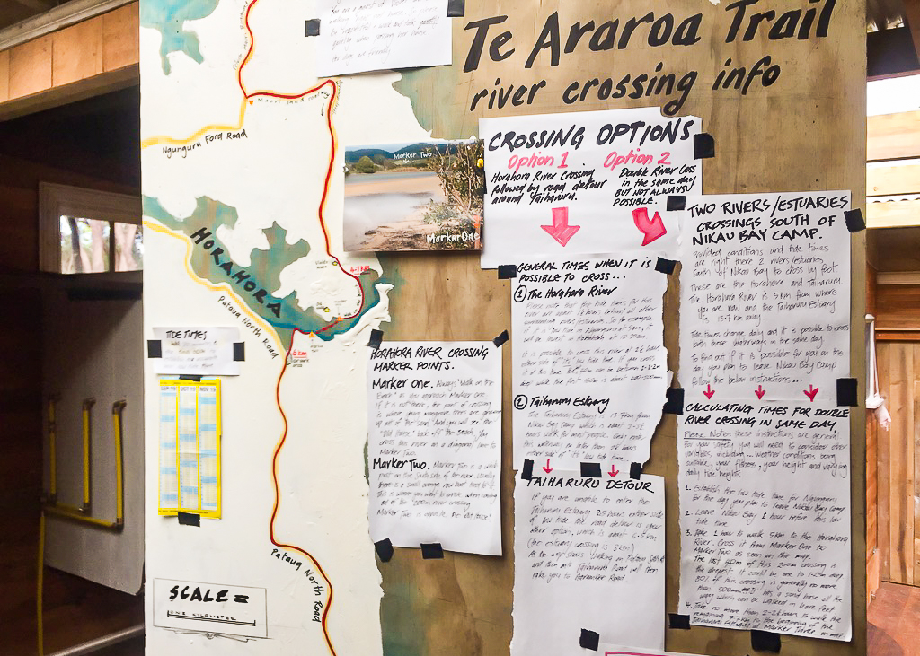 A close up of the estuary crossing informational board at Nikau Bay.
Outside the main eating and sitting area was an outdoor seating area with a firepit, then off to one side a separate cabin with bunks and a bed for those who wanted it. Up a small raised boardwalk (almost like a treehouse) were a couple of composting toilets. I spent some time fussing James’ dog Rusty, who was absolutely gorgeous.
After the tour Julia and I picked our tent sites and showered before preparing dinner. Julia shared some of her broccoli and capsicum, which I munched on raw. To our surprise, James then brought some eggs out. Exactly 9 of them for the number of people who would be staying. Whilst the others ate theirs with dinner, Julia and I decided we’d have ours with breakfast in the morning.
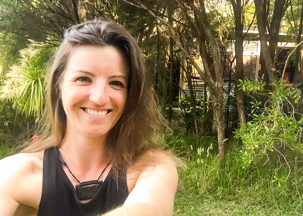 A happy hiker at Nikau Bay campsite, the first time I truly felt at home on the trail.
We were about to sit down for dinner when who should walk around the corner but John! We couldn’t believe it! The last time we’d seen John had been in Kaitaia (for Julia, it was Ahipara) before he’d headed into the Raetea forest section over a week ago.
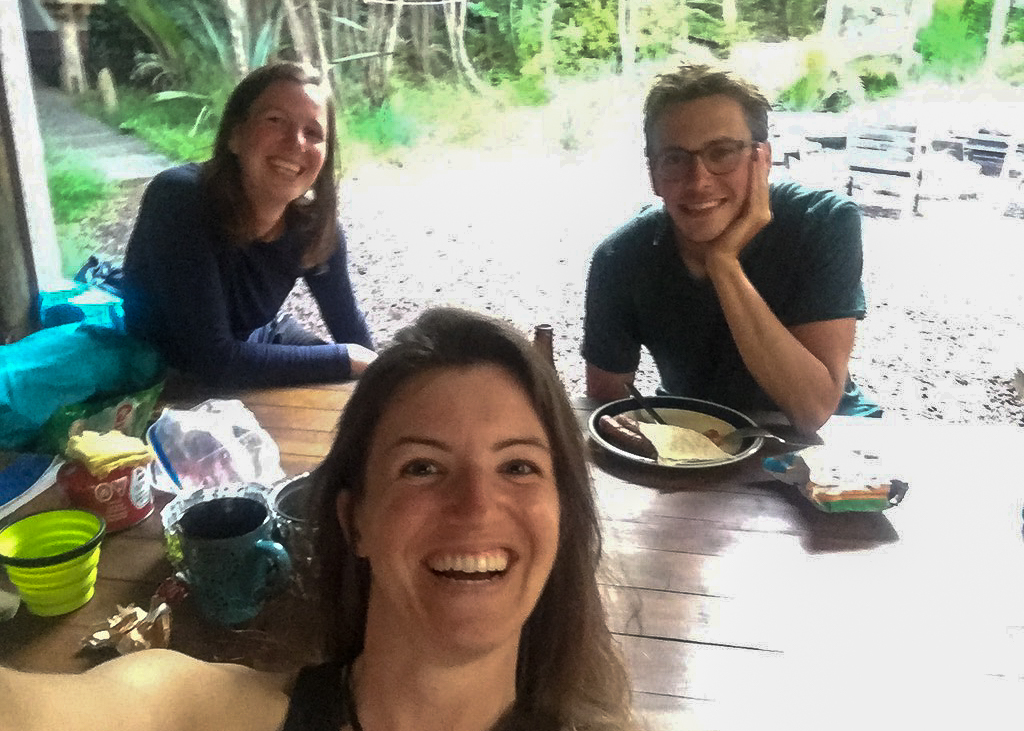 The musketeers are back together again! John surprises us at Nikau Bay Campsite.
We spent the remainder of the evening catching up with him about how his hike had been going, and he introduced us to his hiking buddy of the last few days, a Korean ultra lighter who has done all of the triple crown trails and (to me at least) looked like a bit of a machine.
By this time, all the hikers had gathered around the table. We sat discussing plans for tomorrow and the best times to leave camp to attempt the estuary crossings. It was possible to complete both estuary crossings in one day, but it would mean a very early start and then a very long day through to the next possible camp.
After discussing it in depth, Julia and I decided we were in no rush. We were happy enough to complete just the Horahora crossing the following day and make our way to Tidesong tomorrow night. It would have been a very long day of hiking to make it any further along the trail, there being only a limited number of campsites available. After a bit more discussion, John decided to join us.
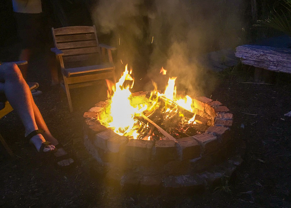 The first and only time I sat around a campfire on Te Araroa.
As it started to get dark James came down and lit the campfire for us. After a little while sitting and chatting, hearing James’ life story (he used to work on films and movies) and generally sharing experiences, the mosquitoes started to bother me so I went off to bed.
I spent most of the night up and down having to go to the toilet. Each night with my dinner I make sure to have an electrolyte drink to replace any salts I’ve lost during the day. I have a tendency to have low blood pressure, and don’t typically drink a lot of water, so my doctor had suggested this might be a good way to keep hydrated.
The only problem is, it usually results in multiple night time toilet trips. I was still having trouble using composting toilets, and even though the ones at James’ place were perfectly clean and tidy (and not at all smelly) they were, still a wee way away from my tent so I opted to use a nearby bush instead.
Getting up to pee at 5AM whilst the sun was coming up over the estuary in the distance still strikes me as one of the most beautiful moments of the trip.
At a pub across the estuary music was playing until very late that night. Even with my earplugs in I struggled to get to sleep. A trapped mosquito inside my tent didn’t help matters either.
I settled myself into another restless night, but took advantage of the beautiful setting by leaving one of my tent doors open to admire the view in the hours when I couldn’t sleep.
prefer to watch?
Watch the full video from this section of Te Araroa below.
