Long White Gypsy uses affiliate links and is a member of the Amazon Services LLC Associates Program. If you make a purchase using one of these links, I may receive a small commission at no extra cost to you. See my Privacy Policy for more information.
There was a lot of condensation on my tent when I awoke in the morning. To be expected, I suppose, having pitched so near to a body of water. It’s a rather annoying reality not only for the fact that if I’m not careful my quilt can get damp, but also for the fact that it means I will have to carry all the extra water weight until I have an opportunity to dry it out later in the day.
We wanted to leave by 7.30am so we could make the Horahora Estuary crossing before 9.00am (as James’ helpful map had suggested). My stomach had kindly woken me up at 5.45am, so I took the opportunity to make a leisurely breakfast and even had a quick shower in the beautiful outdoor facility. James came down from his house at about 7.00am with a cup of tea and some milk! Unfortunately someone had pinched one of our hard boiled eggs! I was so disappointed, as I had been looking forward to it. But I let Julia have the one that was left because I know she loves them.
At 7.30am we were still finishing the final pack up, but we eventually left at 7.40am. John was a little bit behind us.
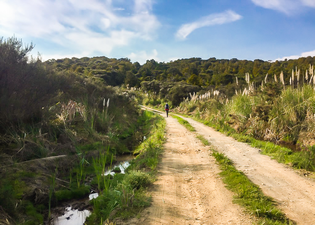 Part of the 4 Wheel Drive track out of Nīkau Bay campsite.
The first thing we had to do was climb about a million minor inclines to get out of James’ place and across the adjacent Maori land. James collects the $5 fee to cross this land on behalf of his neighbour which made it really easy. But it was something I hadn’t realised we’d have to pay for and as a result I was now running low on cash.
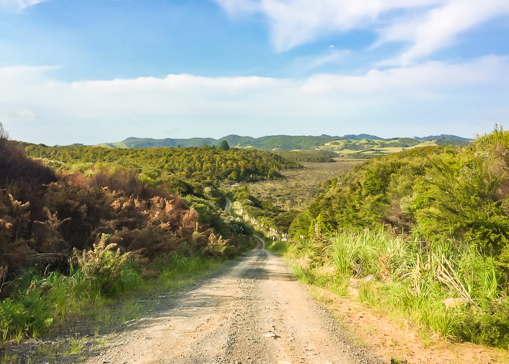 A stunning viewpoint opens up on our way out of the Nīkau Bay area.
The small hills were once again a nightmare for me because my calves were burning really badly again. The views from the high points along the way, though, were spectacular. In the distance we could even see the Whangarei Heads, our destination for tomorrow.
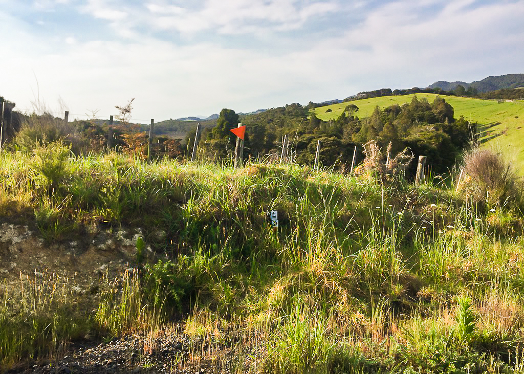 These trail markers seemed to point in opposite directions for SOBO hikers – until I realised one was for NOBO hikers.
The entrance to the Maori land section of the trail for today was clearly identifiable to us by these large poles called pouwhenua.
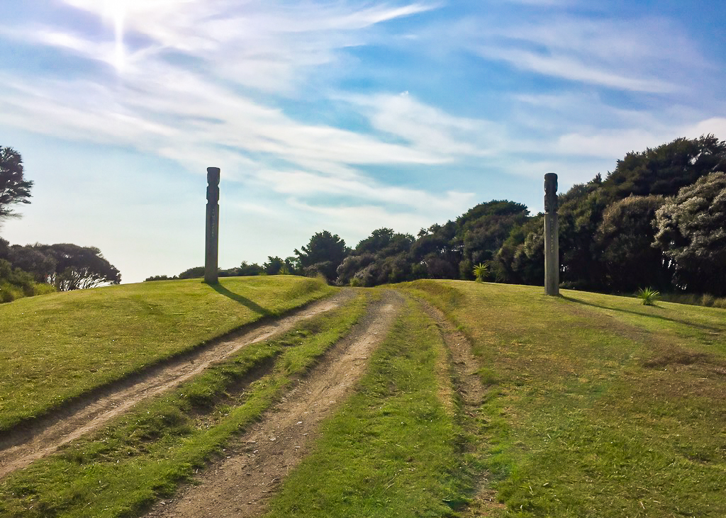 Crossing onto the Maori land section of the trail which we’d paid James for – unmentioned in the TA notes this year.
Similar to totem poles, pouwhenua are markers of ownership, boundary markers, land marker posts, or land symbols of support. They are usually a pair of tall posts placed prominently in the ground to mark possession of an area or jurisdiction over it, and usually feature intricate carvings depicting the history of the area and the iwi’s connection to it.
It seemed quite strange to so blatantly be hiking across Maori land, and I couldn’t help but wonder if we’d have any issues.
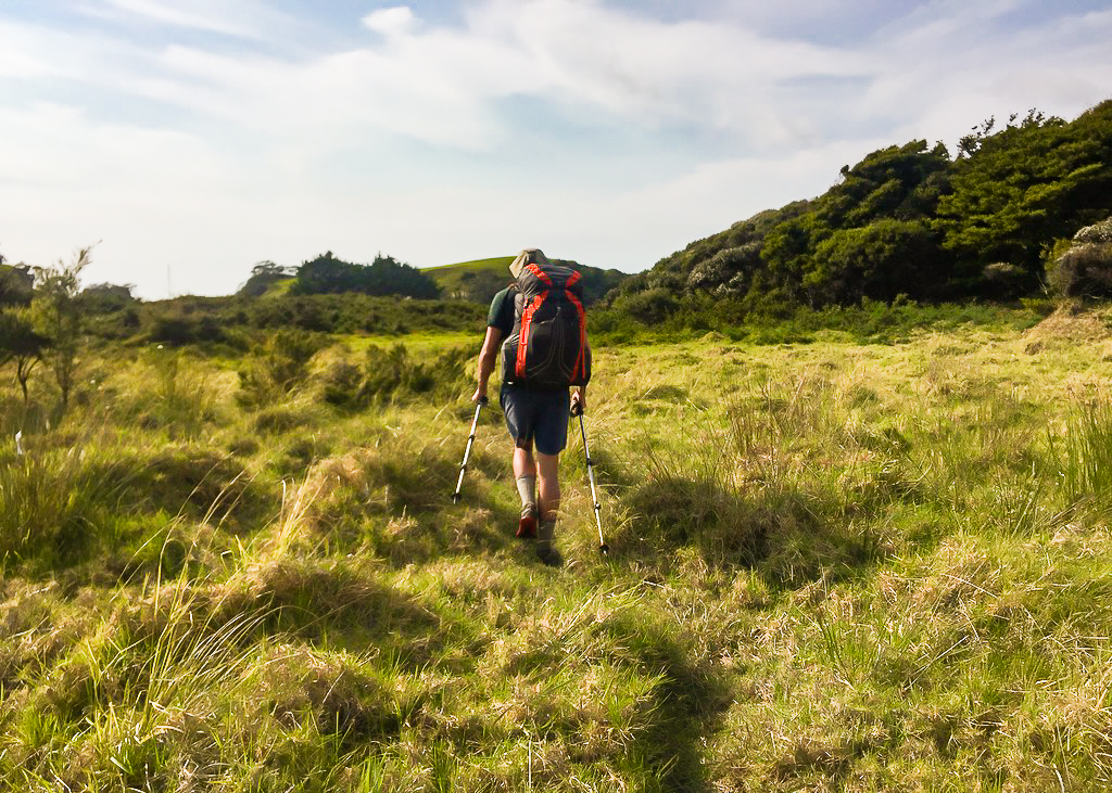 Twisting my ankles on an uneven patch of trail through long grass.
In actual fact, the crossing went smoothly, and when we reached the far end we found ourselves in what seemed like the front garden of a nearby house. Two wahine (women) were sitting on the porch of the house, and we waved a brief hello to them before setting off again.
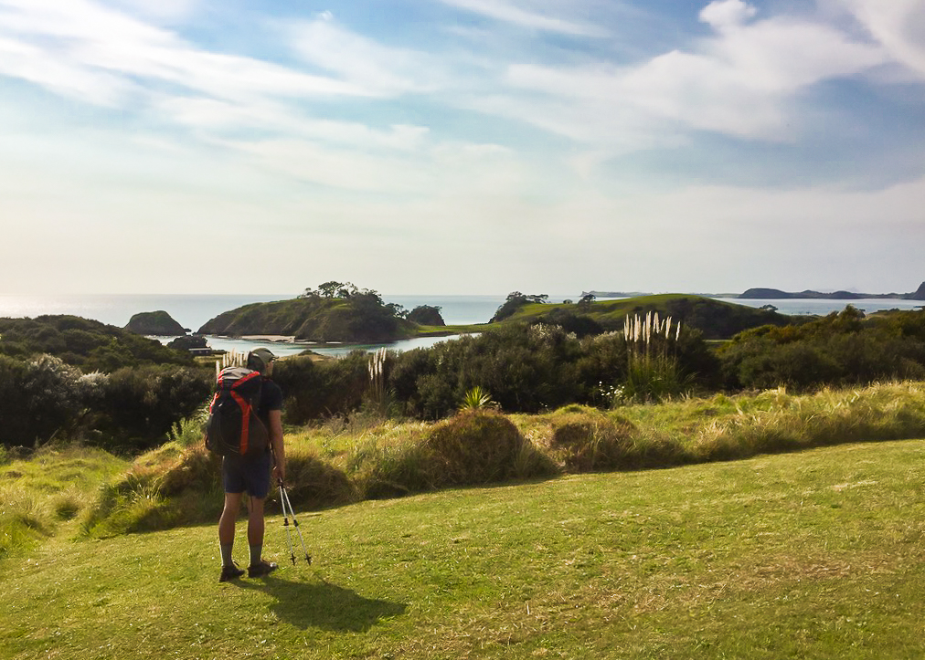 At the end of the Maori land section we came onto this viewpoint, right in someone’s front garden!
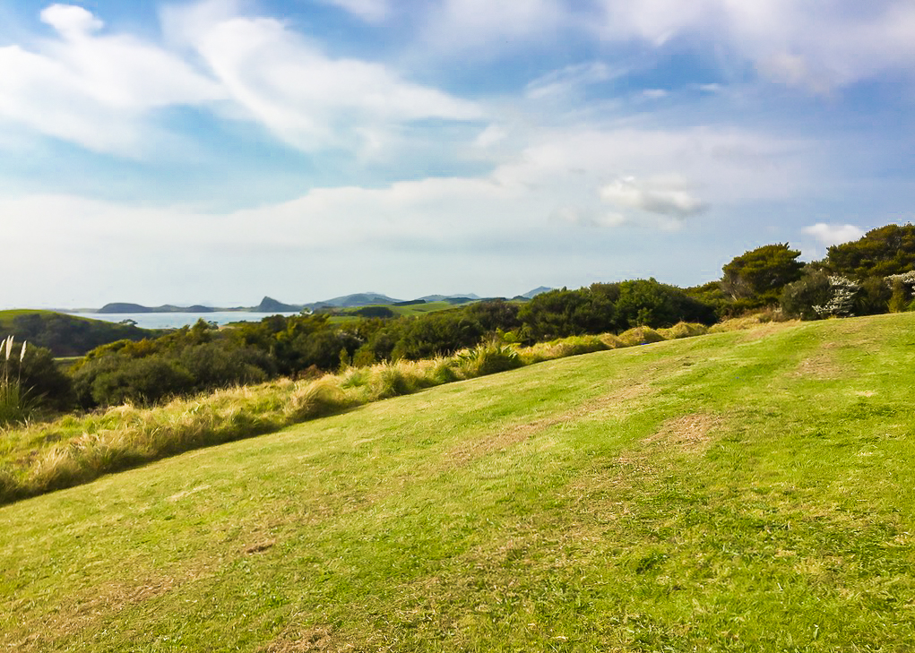 Pushing off from the beautiful viewpoint to the edge of this private property.
We got to the Horahora Estuary crossing at just after 9.00am and met Troy and Jordyn there who’d left camp a little before us.
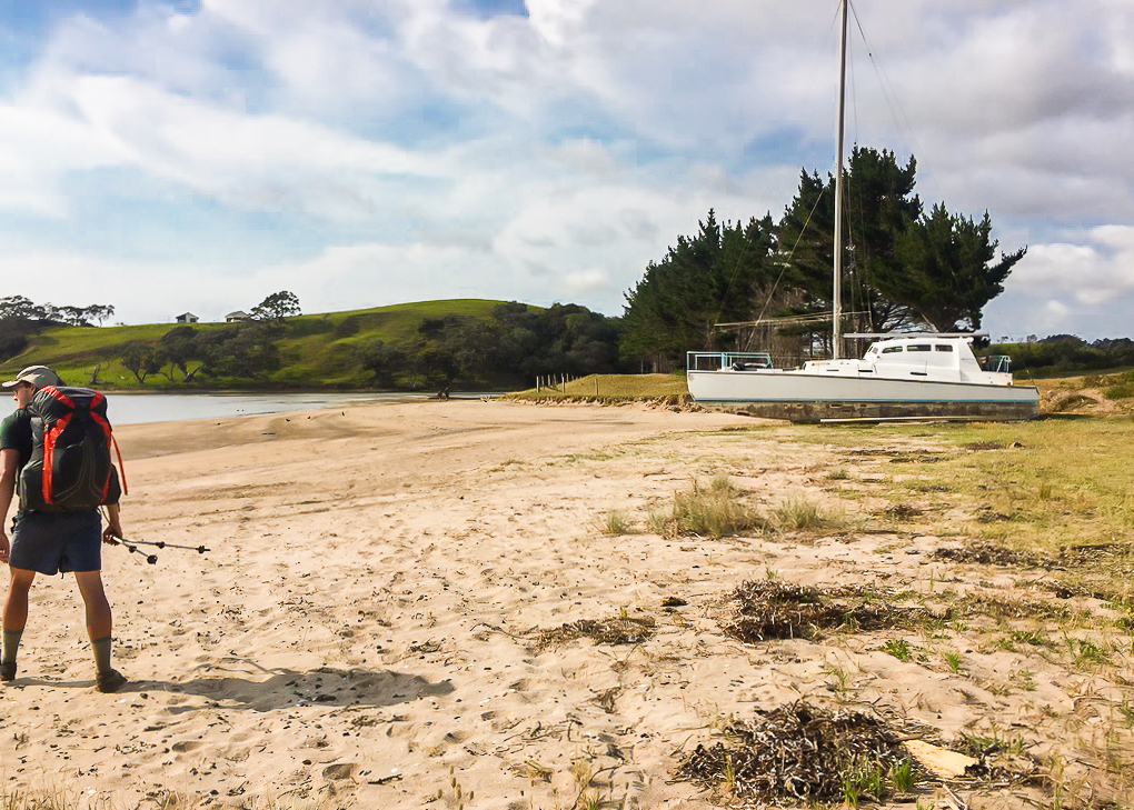 A short beach walk before rounding the corner and setting eyes on the crossing point.
We were all hesitating a little on the shore. This was our first real estuary crossing we’d had to negotiate, and we were all a little wary of how deep it might be in the middle.
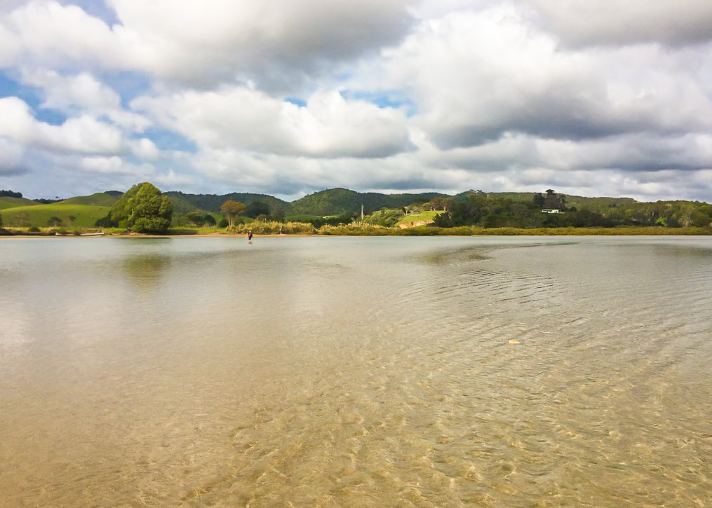 John braves the water first, scouting out the best route across.
Not one to mess around, John powered ahead into the estuary: clothes, backpack, shoes and all! We watched him wade deeper, and deeper into the water. Eventually he was in up to his waist but it didn’t seem to be getting much worse. Having decided we weren’t quite as gung-ho as our American friend, we removed our shoes and socks, and followed him into the water.
A good half way across, the riverbed dropped away sharply. No matter which way we went, there was no way to avoid getting seriously wet.
Now, I’m not made of sugar or anything, but crossing an estuary is a lot different to crossing a river. For one thing, the water you’re immersed in is salt water, not fresh water. This means that all the little tiny crystals of salt start to cause abrasion in any places that get wet: shoes, socks, clothes etc. And when you still have a good 15-20 kilometres to hike for the rest of the day, this isn’t a happy prospect. I’d decided early on to minimise the chances of any nasty rashes or blisters directly derived from salt water estuary crossings.
Unfortunately though, I had to acknowledge there wasn’t much option here than to just go for it. I was confident everything in my pack was waterproof (or as waterproofed as possible) so I left it on my back. I noticed the others had started to wave to me frantically. It wasn’t until I reached the other side that I realised they’d seen my phone teetering in the side pocket of my pack. I told them I wasn’t worried about it – it was in a Lifeproof case after all (more on that later!).
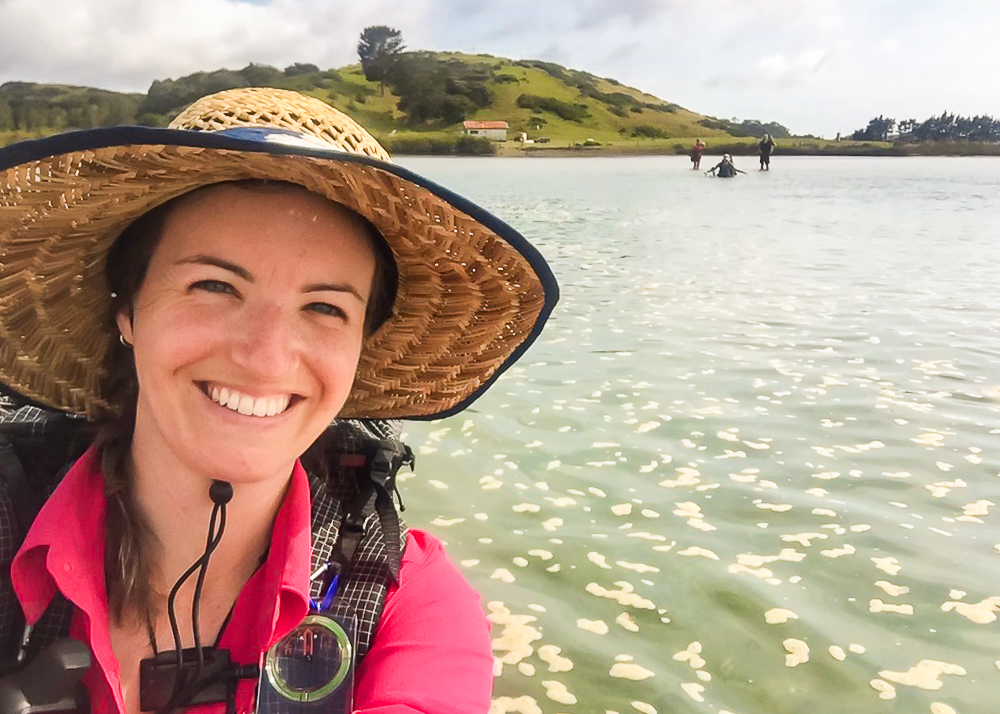 Julia takes a dive into deeper water at the Horahora Estuary.
I have to admit there was a point during the crossing where I was a little bit scared. All the time you’re conscious that the water is rising and it seems impossible that you will ever reach the other side. Also, even though it looked relatively calm before we entered, the current was quite strong in places. I figured if worst came to worst I’d just float downriver with my pack. I’d already loosened the straps and removed the chest strap as I’d learned at the river safety course I’d taken before I set out.
After what seemed an age, I was finally across. Julia followed soon after (she also kept her pack on) but Troy and Jordyn made it across whilst holding their packs above their heads. Poor Jordyn, being a sight shorter than the rest of us, had ended up almost up to her neck.
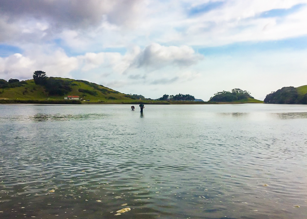 Troy and Jordan cross the Horahora Estuary with their packs hoisted high above their heads. You can see how deep Jordyn is here.
We spent a while trying to get dry on the other side before we realised that it was futile. We headed along the bank towards the road. It was extremely muddy, marshy and smelly. I got covered in mud that was spurting up off the ground every time I put my feet down.
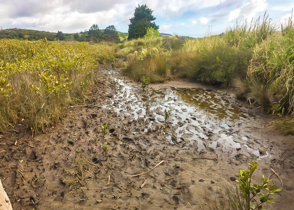 Sticky, smelly and messy.
Once we reached the road, we faced a 9km hike to Tidesong, with a brief opportunity to stop 6km further down the road at Pataua.
We walked and walked for a while. I needed to pee so I waited for everyone to pass before ducking off into a bush on the side of the road. When I was finished, I carried on walking. Then I needed to pee again. I was pretty exhausted to I convinced the others to take a small rest break. We must have sat by the side of the road for 15 or 20 minutes, stocking up on energy by eating a few snacks. It seemed the others were similarly knackered.
Troy and Jordyn passed us. Eventually we mustered enough energy to push on. Pataua was only a little way down the road.
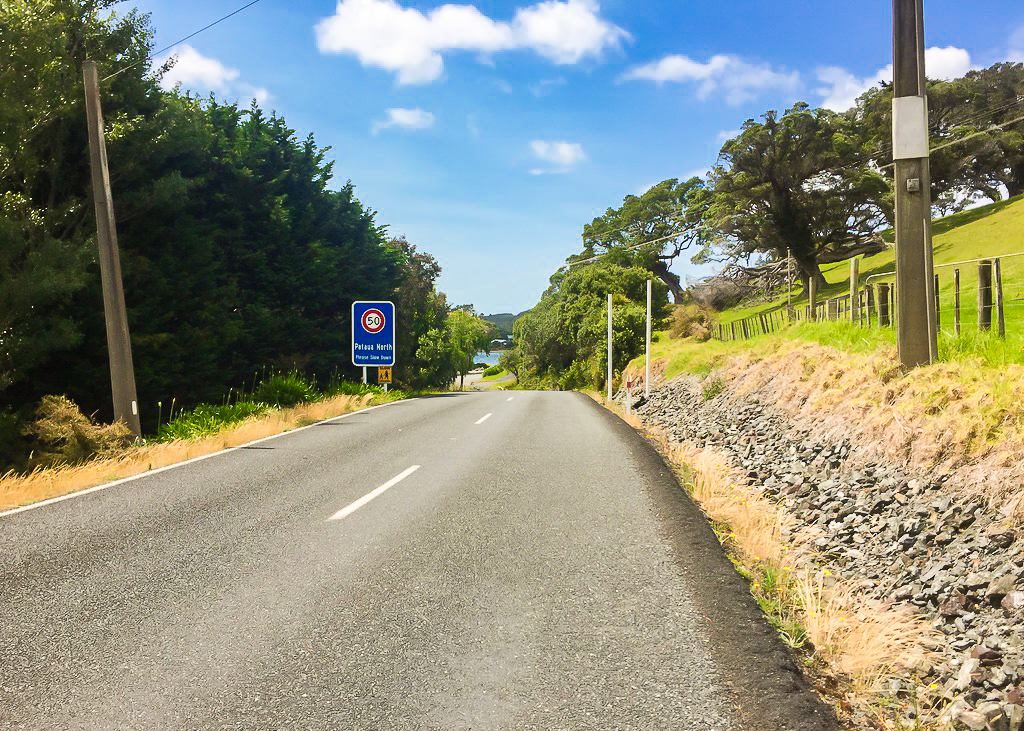 The end of the road walk to Pataua South after crossing the Horahora estuary.
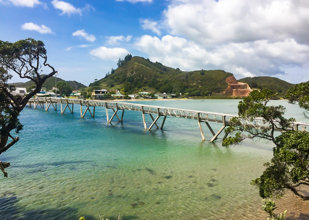 A scenic shot of the footbridge which links Pataua South and Pataua North on the opposite bank.
We crossed over the pretty footbridge and used the public restrooms.
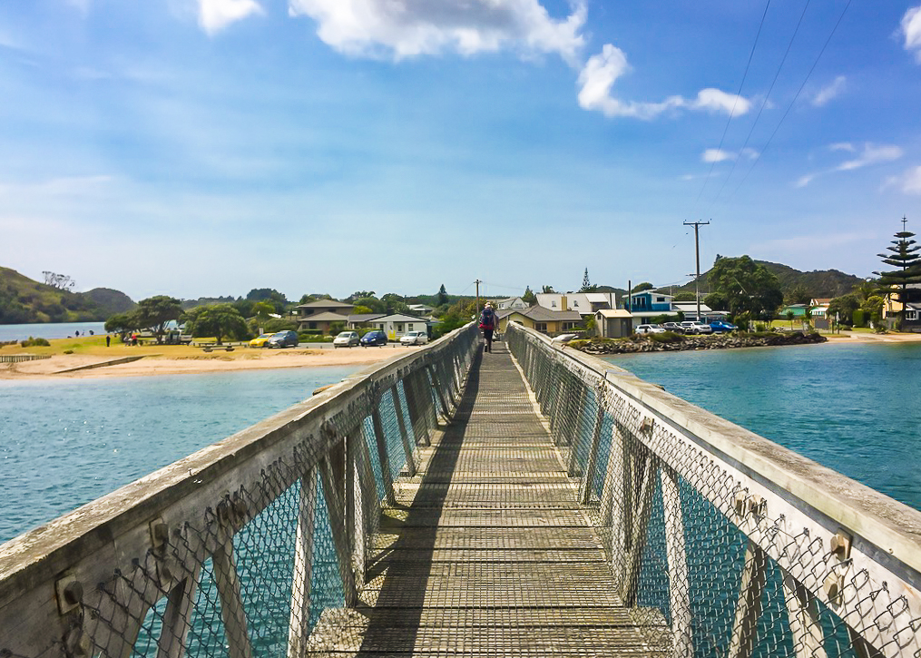 Crossing the Pataua South footbridge on the way to a brief rest break on the other side.
Then I called Ros from Tidesong. She said they had plenty of room available for the night, so we took a little under an hour to have some lunch and for John to have a swim. Being from California, he had resolved to make the most of sleeping on or near the coast every night.
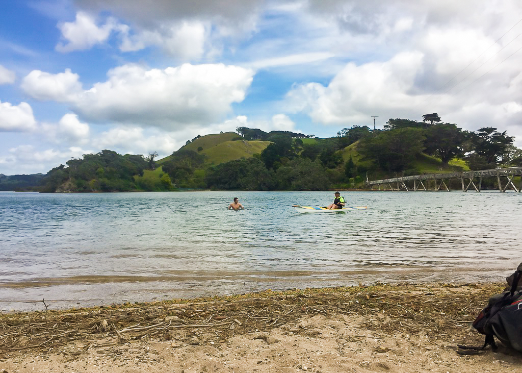 John in his element.
It was getting hot again. And I had somehow twisted my knee on the road walk. I wasn’t looking forward to the last hour, especially as it involved quite a few off-trail kilometres. But regardless of how I felt, at the end of the day there was only one way to get to my bed for the night. And that was to walk there.
On the way, we ended up walking right past where we would have had to duck off the road to cross the Taiharuru Estuary. It was far too high for us to cross at this time of the day (around 12.30pm) so we had no choice but to tackle the road walk around.
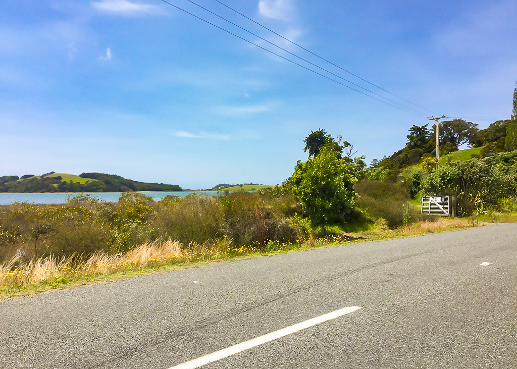 Passing by the Taurikura Estuary, one of the longest and most difficult to navigate on Te Araroa.
The road from Pataua to Tidesong was narrow and windy, and there wasn’t much room for both us and the cars we encountered. In the end it took us around an hour and a half to reach the sanctuary of Tidesong.
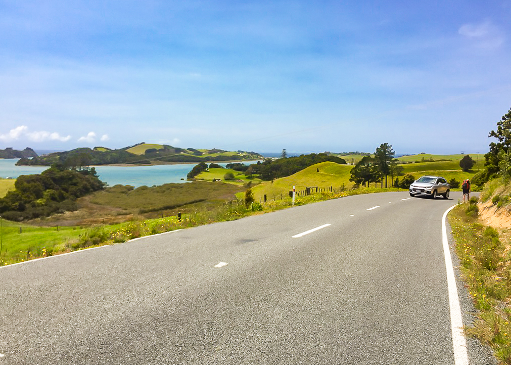 A good example of the sketchy road walk around to Tidesong (necessary because the Taurikura Estuary was too high to cross). Note the car on the opposite side of the road on a bend!
When we arrived we walked through the most beautiful garden before heading up to the house where Hugh greeted us on the verandah. He welcomed us in before Ros emerged with a wild rabbit tucked into her jumper. She’d rescued him from an attacking Tui earlier in the day and was nursing him back to health.
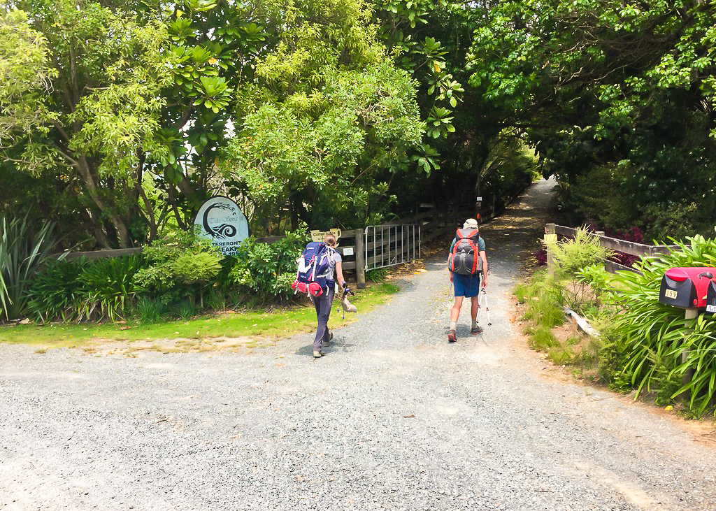 Arriving at Tidesong after only hiking for half the day, but feeling like we’d hiked much longer.
They made us each a cup of tea and then brought out scones with crabapple jam and cream, together with chocolate chip and anzac cookies. It was fantastic! As we sat and ate we found out a lot about them and why they had decided to host Te Araroa hikers.
They both hiked the trail about five years ago. Ros did most of the walking but they also hiked some sections together too. Hugh has kidney disease so Ros gave him one of her kidneys six years ago. He has been on immuno-suppressants ever since. After we’d lounged around for a few hours, we were given a tour of their house, in which there was so much history! Ros told us about her Mackenzie heritage and her lineage throughout New Zealand. Her great great grandfather was Thomas Mackenzie who briefly served as the 18th Prime Minister of New Zealand in 1912, and later became NZ High Commissioner in London. I could see where Ros’ roots for adventure had come from. Her grandfather was a member of the Royal Geographical Society and had played an instrumental part in creating the Milford Track and mapping routes into Dusky Sound.
We spent so much time talking and chatting to Ros and Hugh that it was beginning to grow late. I was conscious that I still hadn’t showered or done any laundry (a task that was now well overdue). Putting the pressure on a little, we were finally shown to our cabin for the evening down a little track into Ros & Hugh’s private bush. There were two beds in the cabin which Julia and I commandeered, but room enough on the floor for John to sleep inside too. A little further up the track was another outside shower and teeny-tiny composting toilet which made me feel a little claustrophobic.
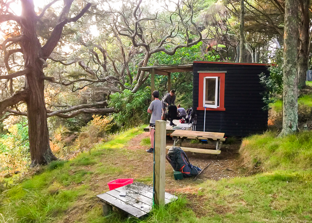 Our cozy hiker cabin at Tidesong, with five hikers squished in and around its vicinity.
After finally rinsing the sweat of the day off under the warm shower, and finishing up our laundry, we spent some time trying to organise our accommodation for tomorrow night at Whangarei Heads. I was also still trying to find something further down the trail at Orewa or Stillwater so I could arrange my resupply boxes to be sent there (no luck yet).
Tomorrow would mark my 15th day officially on the trail, and also my 31st birthday. Checking the weather forecast revealed it would rain most of the day, possibly quite heavy at times. It would take us around 4 hours to reach the end of Ocean Beach, before climbing up and over the Te Whara Track at Bream Head. There was some debate as to whether or not the track was open or not. DoC had been advertising track maintenance closures, but it looked like we were in a window where it could still be open. This would mean avoiding a boring road walk down Ocean Beach Road, but (unfortunately for me) a big hike over our highest elevation yet.
Due to a suggestion made by James the previous night, we managed to organise to stay at the Green Bus Stop at Taurikura on the other side of Bream Head. This was a weight off our minds. There were very few accommodation options suggested on or near the trail through this particular section, with most being located in Whangarei and either difficult to get transport to or prohibitively expensive.
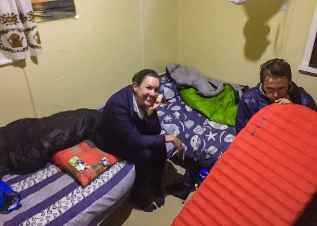 Julia and John, cozying up in our tiny cabin, just barely big enough for all three of us.
We briefly made our way back to the main house later on in the evening to make our dinner, and were wrapt when Haley turned up with our other kiwi-American friend Joe. They’d both been pushing some pretty big miles together and looked fairly knackered, but equally happy to see us all again.
That night, they bivouacked out on the porch of our little cabin, whilst we three travellers slept peacefully (for the most part) inside.
But I couldn’t stop my mind churning with the thought of the effort that awaited us the following day.
prefer to watch?
Watch the full video from this section of Te Araroa below.
